
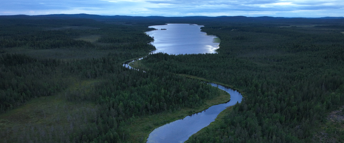
PENTÄSJOKI STARTS AS SMALL TRICkles UP TO 400 METERS ABOVE SEA
in Aapuvaara, Karhuvaara (Bear Mountain), Laulumaa (The Singing Land) and Paljukka (The Bare Mountain). The streams excavate gravel pits for grayling and trout to spawn, meander slowly past hickory bogs and trandans, bordered by lichen-adorned mixed forests, and expand into wider seals and reservoirs, where large pike and perch rule and beavers and swans build huts and nests. Some of the streams are ice-free all year round, but in winter the water flows mostly quietly under the sometimes meter-thick ice and the otters have plenty of room to play sliding in the snow. In the spring, the stream attracts rafters when it adventurously and fiercely overflows all overflows, paving the way for summer.
FISHING LICENSE
Fishing rules


day license adult
50 SEK

ANNUAL license PROPERTY OWNER
150 SEK

ANNUAL license RESIDENT
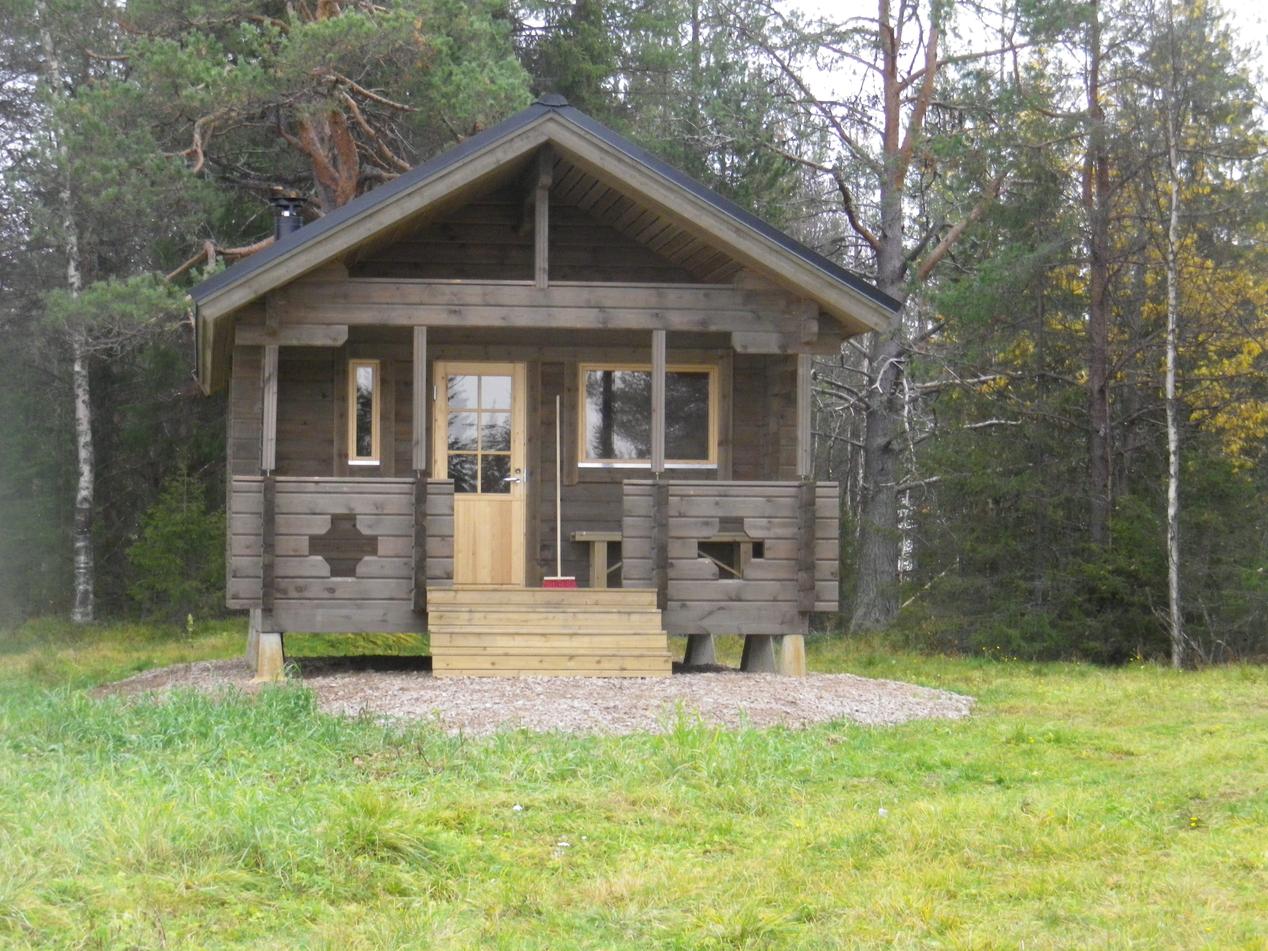
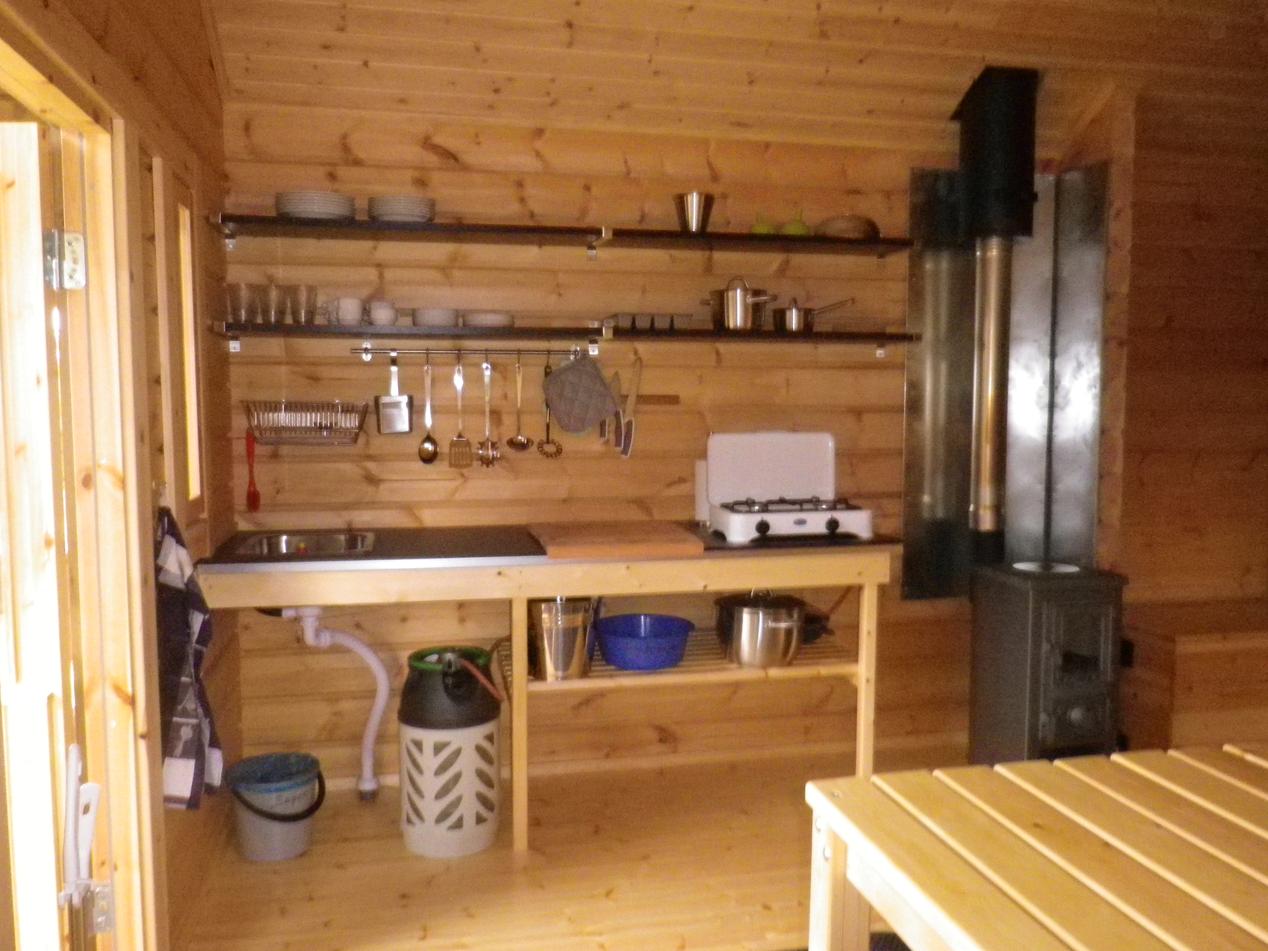
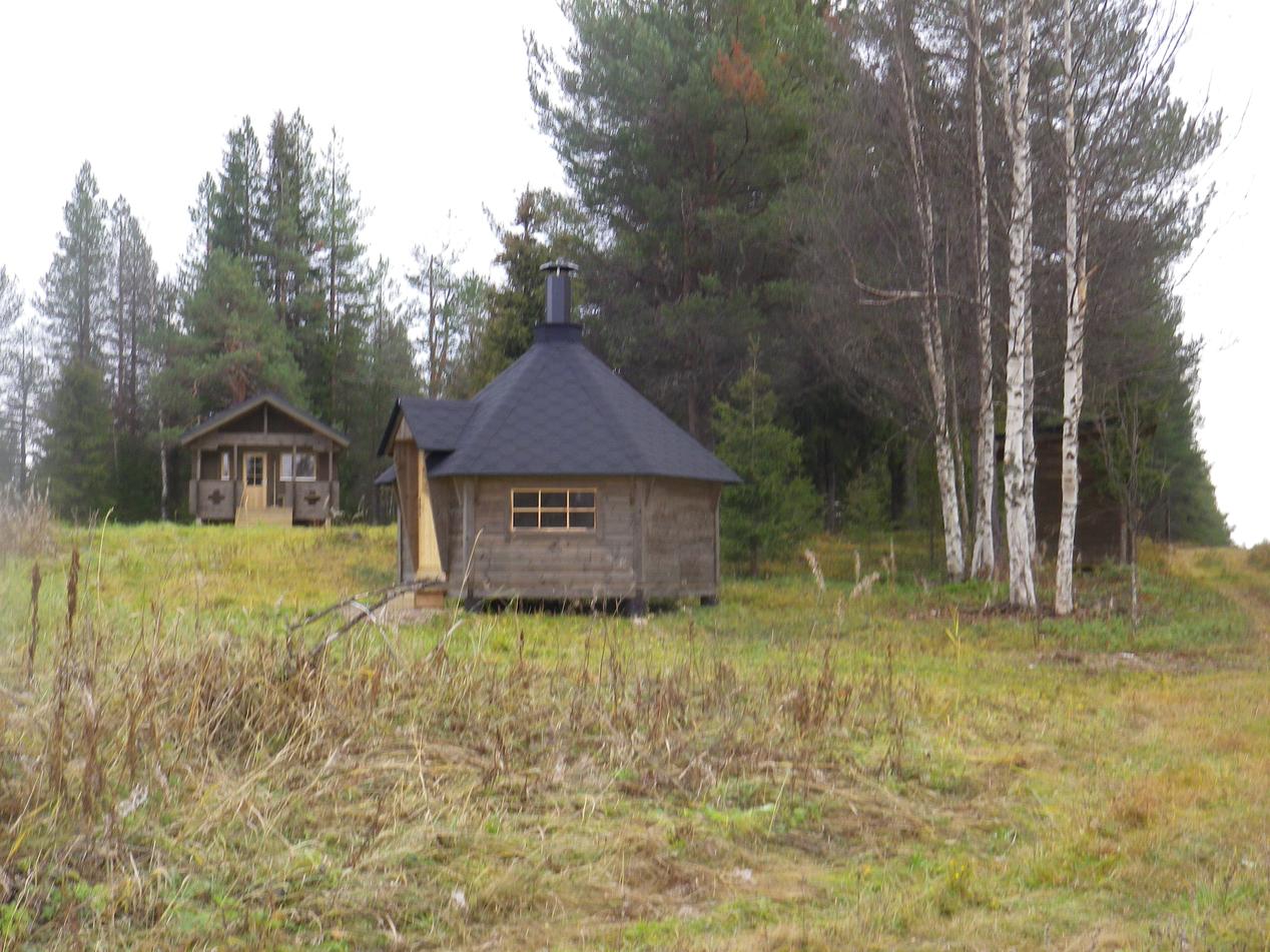
Aartojärvi cabin
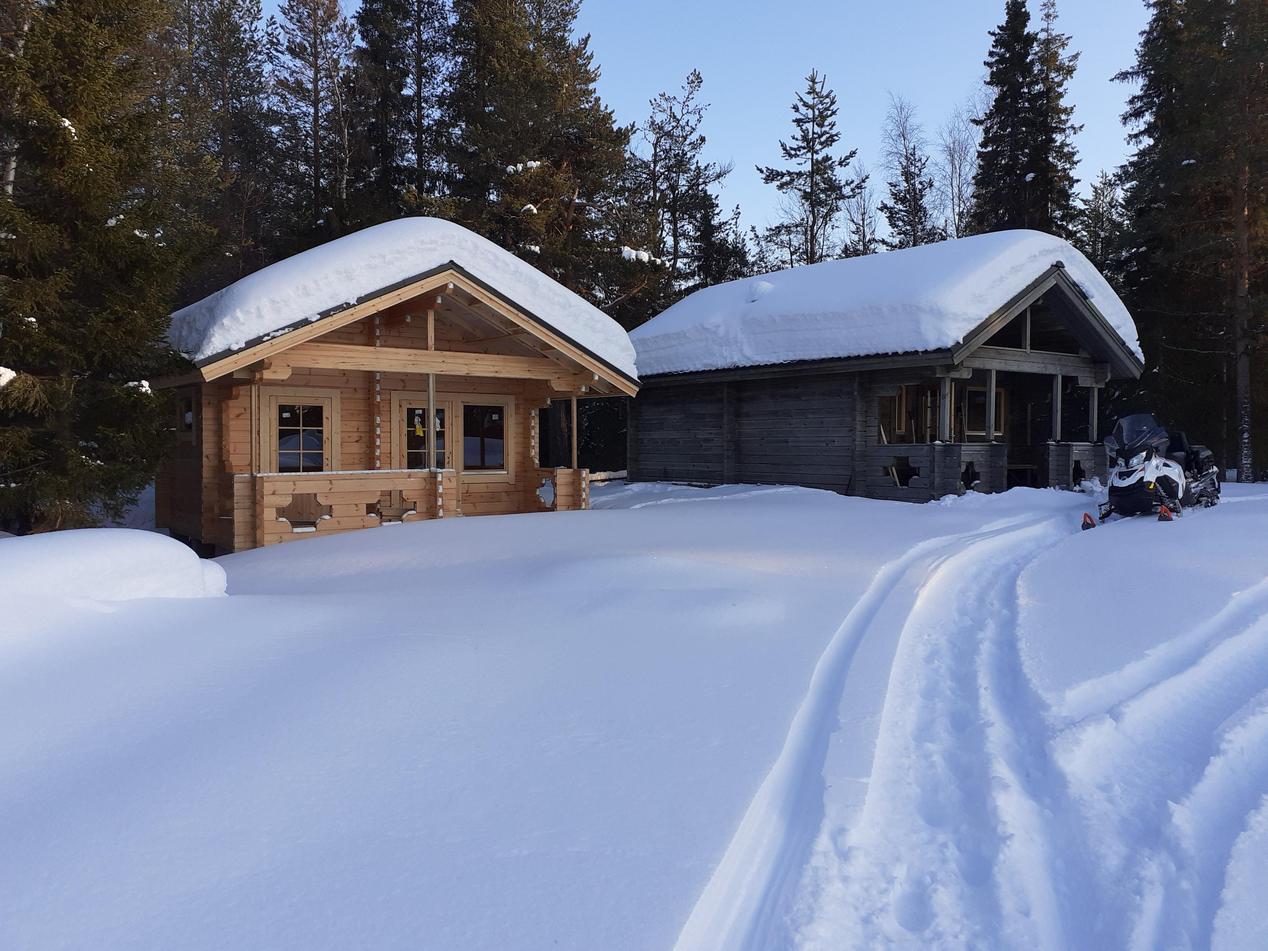
ACCESSIBLE WITH CAR & QUAD BIKE SUMMER TIME. YOU CAN ACCESS THE CABIN WINTER TIME WITH SNOWMOBILE, SKIING OR HIKING BY FOLLOWING OUR TRAIL. LINK TO TRAIL MAP AND CABIN POSITION: HTTPS://SKOTERLEDER.ORG/MARKER/?ID=4724
CAR DIRECTIONS: DRIVE ON RIKSVÄG 99 TO JARHOIS, FOLLOW THE ROAD TO OLKAMANGI AND DRIVE THERE TO AARTOJÄRVI (66°55'55.9"N 23°28'33.7"E)
READ MORE HERE
SWITCH TO SATELLITE IMAGE TO SEE POSITION.
KIPELIROVA CABIN
ACCESSIBLE WITH SNOWMOBILE, HIKING OR SKIING BY FOLLOWING OUR TRAIL. LINK TO TRAIL MAP AND CABIN POSITION: HTTPS://SKOTERLEDER.ORG/MARKER/?ID=4721
READ MORE HERE
SWITCH TO SATELLITE IMAGE TO SEE POSITION.
66°53'12.7"N 23°43'40.7"E
